Geotechnical monitoring and seepage assessment: Reliability, methods and levels of control in critical structures
The safety and performance of geotechnical structures, such as dams, waste rock piles, and slopes, are closely linked to the quality of field data, the robustness of the monitoring methods adopted, and the effectiveness of hydrological, hydrogeological, and geotechnical assessments, especially regarding seepage. In an increasingly demanding regulatory environment and with structures operating close to their technical and environmental limits, the adoption of best practices in instrumentation, seepage assessment, and data reliability becomes essential for geotechnical risk management.
Geotechnical Data Reliability: The Foundation for Decision Making
Data reliability is the starting point for any model, diagnosis, or decision-making in geotechnical engineering. Inconsistent, poorly calibrated, or untraceable data compromises the entire chain of technical reasoning, potentially resulting in inaccurate risk assessments, ineffective corrective actions, or, in extreme cases, avoidable structural failures.
Among the factors that compromise reliability, the following stand out:
- Inadequate or poorly calibrated equipment;
- Lack of standardized data acquisition and processing procedures;
- Poor training of operational teams;
- Incomplete integration between field and laboratory data.
To ensure quality, it is essential to implement cross-checking programs, technical audits, and the use of integrated platforms for data consolidation and traceability, promoting a culture of traceability and technical transparency.
Geotechnical Monitoring: InSAR as a Strategic Tool
Among emerging technologies in geotechnical monitoring, InSAR (Interferometric Synthetic Aperture Radar) has stood out for its ability to detect millimeter-scale movements over large areas with high temporal and spatial resolution. This technique, based on phase variations between satellite radar images, offers substantial advantages:
- Wide and continuous coverage, even in hard-to-reach areas;
- Low cost per monitored unit, compared to conventional methods;
- Integration with alert systems and predictive analysis.
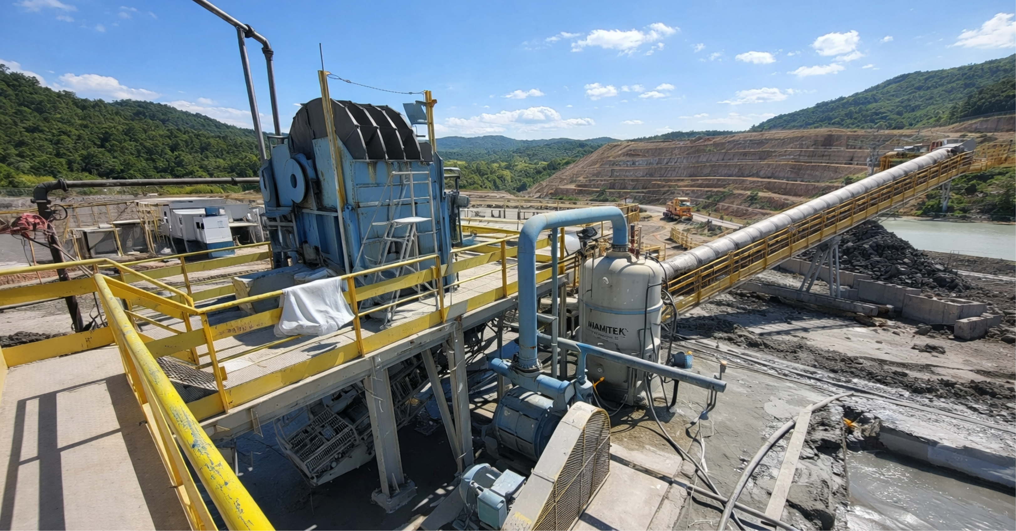
When combined with traditional instruments such as inclinometers, piezometers, and total stations, InSAR technology enhances understanding of the behavior of geotechnical structures over time, becoming a valuable ally in continuous monitoring and risk management programs.
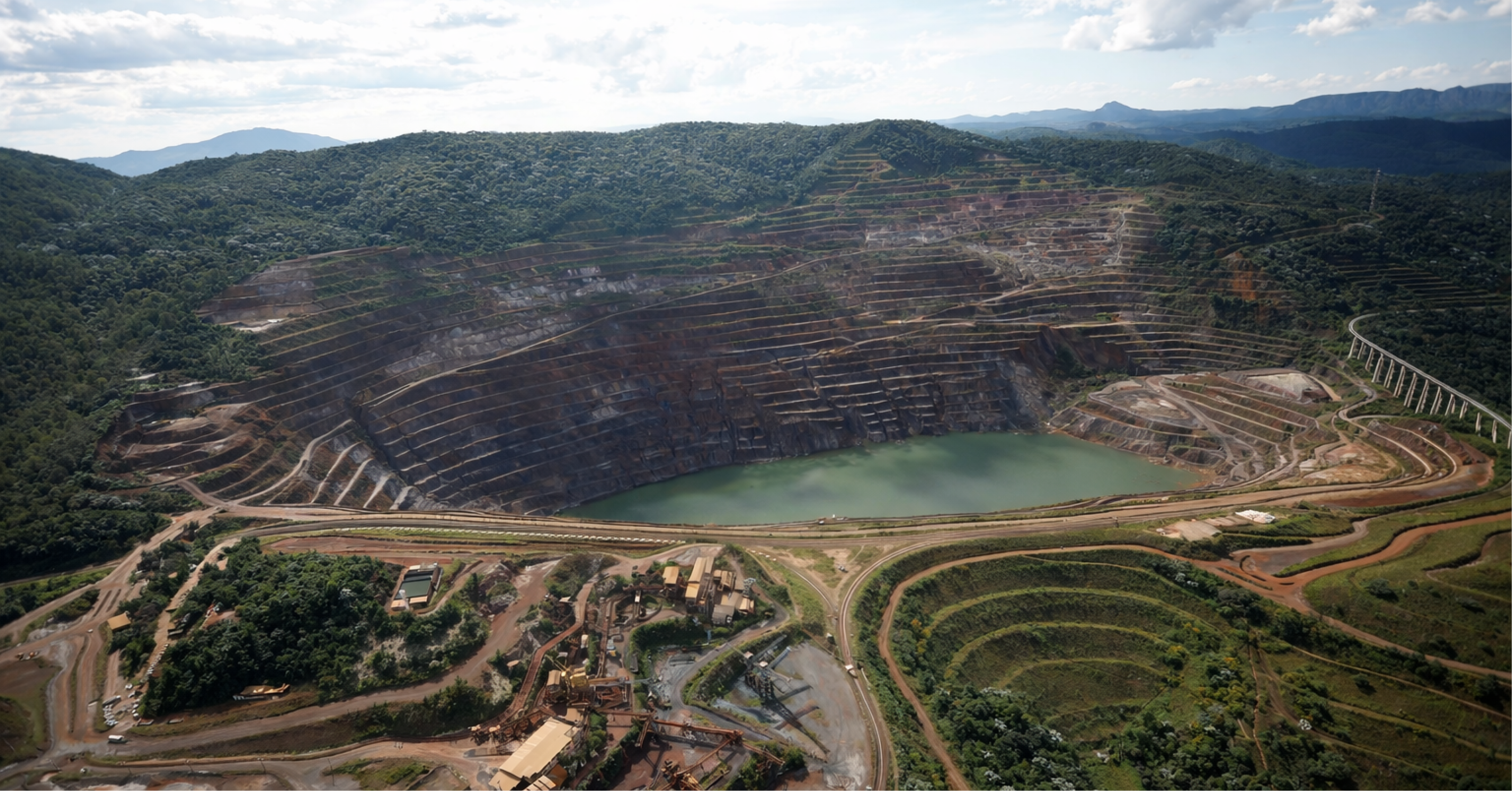
Percolation Assessment: Approaches and Limitations
Assessing seepage in dams and other structures is a critical component of operational safety. The presence of uncontrolled or misinterpreted flow may indicate imminent instability or internal erosion processes.
Percolation assessment methodologies should consider:
- Direct instrumental measurements, such as readings from piezometers and flowmeters;
- Indirect hydrogeological analyses, including numerical simulations based on hydraulic conductivity and hydraulic head parameters;
- Probabilistic or deterministic models, depending on the maturity level of the database and the objectives of the analysis.
It is important to emphasize that the choice of model should not be made solely based on software availability or convenience, but rather based on the representativeness of the data, the complexity of the geotechnical system and the acceptable level of uncertainty in the project.
Control Levels in Instrumentation: Proactive Stability Management
Defining control levels (alert, attention, and emergency) associated with geotechnical instrumentation is essential for transforming data into decisions. These levels must be based on robust technical criteria, taking into account:
- Historical trend of readings;
- Thresholds established in standards and technical guides (e.g. ABNT, ANM, ICOLD, FEAM, etc.);
- Expected responses of the massif or structure in different operational regimes;
- Action plans linked to each level.
A well-calibrated system of control levels allows not only responding to situations of imminent risk, but also acting preventively, anticipating anomalous patterns and preventing the development of structural damage.
Integration and Precision as Foundations of High Performance Engineering
Data reliability, the application of technologies such as InSAR, robust seepage modeling, and the appropriate use of control levels are fundamental elements of an effective geotechnical management system. Modern engineering requires more than measurements: it requires applied operational intelligence, with decisions based on quality data, interpreted critically and contextually.
In the VinQWe apply an integrated, multidisciplinary approach that combines instrumentation, modeling, and risk management, focusing on value generation and the operational safety of geotechnical structures. We are prepared to support our clients at every stage—from designing monitoring plans to advanced data analysis and reliability reporting.
Authors:

John Paul dos Santos
Bachelor in Mining Engineering (UFMG), Master in Civil Engineering and Management (University of Glasgow), Specialist in Geotechnical Engineering and Project Management.
Mining Engineer specializing in geotechnics and project management, an international reference in dams and geotechnical structures applied to mining.

Matheus Vicentini
Civil Engineer (Unilavras), Specialist in Geotechnical Engineering (PUC Minas).
Civil Engineer with experience in geotechnics applied to mining, with experience in projects, audits and dam decommissioning works.